


This story is the tenth in our series on the hidden history of Vancouver’s neighbourhoods. Read more.
Wedged into the busy waterway of the Fraser River, and linking downtown Vancouver to both its airport on Sea Island and its neighbour Richmond by two bridges and the Canada Line, Marpole is often a thoroughfare and rarely a destination. Despite convenient restaurants and services clustered on Granville Street and in the recently built Marine Gateway, the southwestern neighbourhood exudes a milquetoast vibe as a bedroom community and a pitstop for southbound commuters.
Is the area (bounded by West 57th Avenue to the north, the Fraser River to the south, Ontario Street to the east, and Angus Drive to the west) the fanciest, most historic neighbourhood in South Vancouver? Or is it the shabby, unmentionable kid brother to more genteel west side neighbourhoods like Kerrisdale and Shaughnessy? However you view Marpole, beneath its identity crisis is layered a rich and compelling history.
Indeed, the area has been inhabited for 4,000 years by the Musqueam people. C̓əsnaʔəm, commonly known as the Marpole Midden, was uncovered on the banks of the Fraser River by road workers in the 1880s and excavated in the 1890s by ethnologist Charles Hill-Tout. “Composed mainly of mollusk shells, the midden also contained stone and bone artifacts and skeletal remains of inhabitants of this early site, once at the mouth of the Fraser River,” reads the plaque on the stone cairn in Marpole Park commemorating the National Historic Site of Canada.
What is presently Marpole was largely forest in the 1860s when British subjects began clearing land and building homes in the area. The settlement’s original name, Eburne Station, came from Harry Eburne, who opened a post office in 1885 on what’s now known as Hudson Street. Eburne’s business served the community as well as those travelling by steamboat or canoe down the river from New Westminster. Around that time Granville Street began to emerge, as “just a slit in the forest, a solid wall of trees on both sides” to connect Eburne to Granville townsite, by one account. As part of South Vancouver in 1892, and then Point Grey in 1908, Eburne grew as it was connected by rail and interurban lines.
Between 1909 and 1911, the population swelled from 100 to 1,200 people. Eburne’s growing prominence rankled those living in a community with the same name on nearby Sea Island. In 1916, the Sea Islanders successfully petitioned for the other community to be renamed after CPR superintendent Richard Marpole (who was, ironically, a Shaughnessy resident).
By the time Marpole was absorbed into the City of Vancouver in 1929, it was a thriving community centred around the sawmills and canneries along the river. (Interpretative signage in Fraser River Park recognizes the area’s past as an industrial centre.) To serve this growing area, Nat Bailey opened the first White Spot restaurant in a log cabin-style building, decorated with pastoral and coastal imagery, on Granville Street at West 67th Avenue. Around that time, Marpole was even home to a distillery, United Distillers, on Shaughnessy Street: its location by the river purportedly enabled rum-running to the Prohibition-era United States. The Reifel family, who owned the distillery along with breweries and entertainment holdings like the Commodore Ballroom and the Vogue Theatre, built grand mansions nearby along Southwest Marine Drive.
Nowadays, a more modest restored home from that era, Colborne House—built in 1912 and purchased by CPR conductor Henry Colborne and his wife, May, in 1936—serves as the headquarters for the Marpole Museum & Historical Society. Another private residence, Abbeyfield House, became the city’s first children’s hospital (operating from 1927 to 1933) and is currently a retirement home.
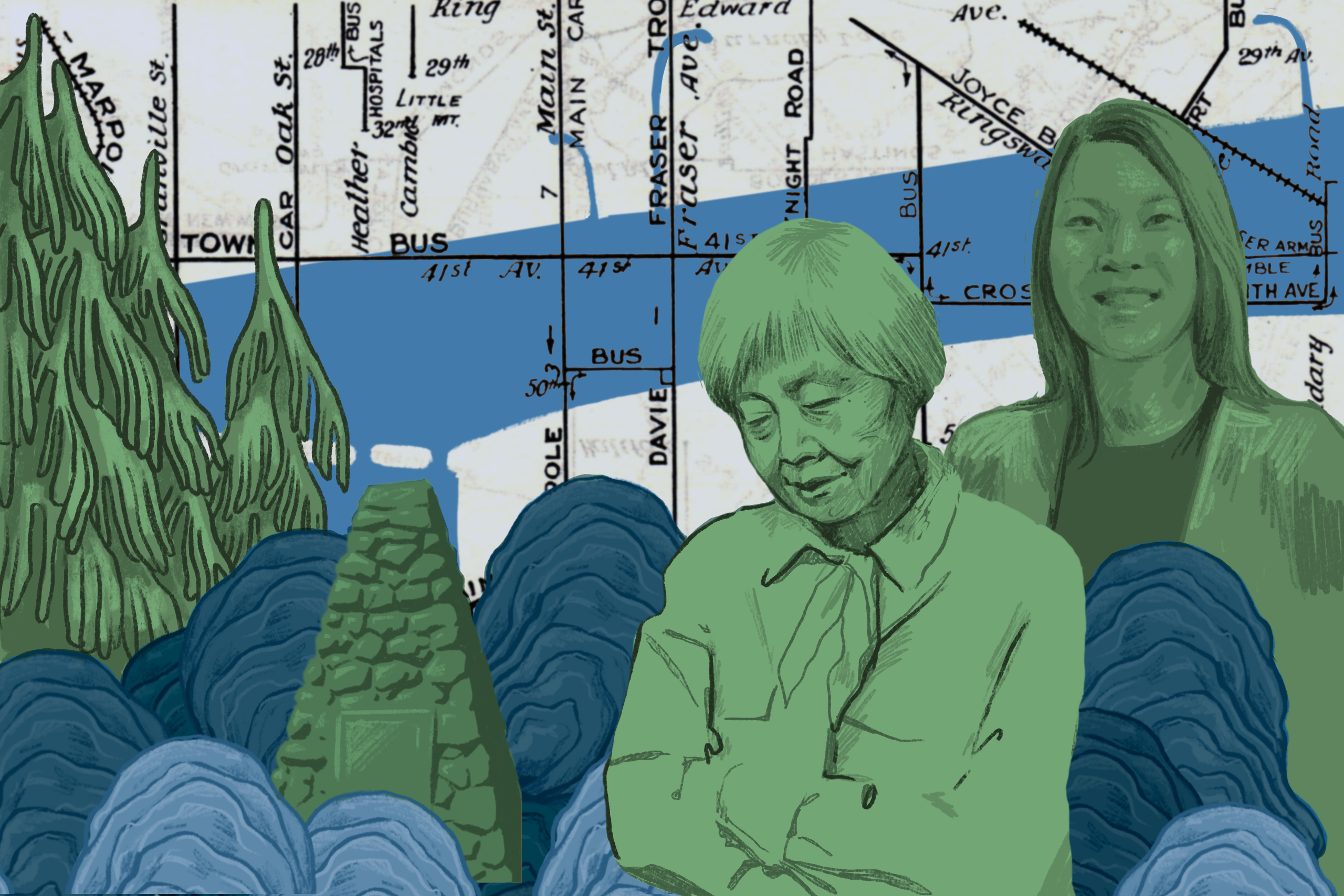
Before the Second World War, Marpole also contained one of Vancouver’s historic Japanese Canadian communities, which had its own language school. In a 1985 oral history, Miyo Ishiwata recalled Japanese Canadian children attending segregated classes at David Lloyd Elementary in the 1920s: “It was very embarrassing because we couldn’t understand why, you know, they did this, but it was the principal. He just didn’t like the idea of Orientals, you know, being dispersed with the other children.” Among its 60 households were residents such as renowned environmentalist David Suzuki, who lived in the back of the family laundromat on Selkirk Street, and author Joy Kogawa. The area’s heritage is honoured by Ebisu Park and Historic Joy Kogawa House, a literary landmark that also hosts residencies for writers.
In 1957, Marpole’s character was significantly altered by the introduction of the Oak Street Bridge. Its predecessor, the Marpole Bridge, had helped to create a commercial hub along Hudson Street that commuters would frequent as they waited for that swing-span bridge to come down after allowing tall ships to pass. With the new bridge, commercial activity shifted to Granville Street. The bridge also ushered in rezoning that saw the construction of low-rise apartment buildings south of West 70th Avenue. With the Arthur Laing Bridge opening in 1975, Marpole increased its position as one of the city’s commuter bottlenecks.
Today, Marpole’s commercial strip on Granville Street is dominated by Chinese restaurants and businesses, which aligns with census information showing that 44 per cent of residents are ethnically Chinese (compared to 28 per cent of the city as a whole). In 2017, the area’s Asian presence was felt in protests over the launch of a supportive housing project that stoked fears of Marpole children being exposed to drug use. As neighbourhood advocate Melody Ma noted, these fears stem from cultural attitudes around drug use that originated from the 19th-century Opium Wars: “Such strong cultural stigmas do not easily evaporate through immigration.”
Long celebrated for its (relatively) affordable housing, the area in recent years has seen the construction of residential highrises and other developments, most notably at the old Safeway location on Granville Street and West 70th, as well as Marine Gateway on Southwest Marine Drive and Cambie. But as ground is broken on new projects, the unresolved past has reemerged. In 2012, condo developers building a five-storey residential complex unearthed the remains of five people belonging to Semiahmoo and Tsawwassen First Nations, sparking a three-month-long Musqueam-led protest that included blocking the Arthur Laing Bridge to commuter traffic on May 31, 2012. The revoked development permits and the return of city-owned midden land to the Musquem people in 2018 show that while Marpole continues to grow upward, its next story lies underground.