On July 8, 2022, telecom giant Rogers Communications suffered a nationwide outage that affected some 12 million Canadians. All across the country, people found themselves back in the precellular age, without access to the internet, mobile phones, or GPS maps. Pulling up to the Canmore Visitor Centre, about halfway into a road trip through the Rocky Mountains and the Alberta Badlands, I walked past droves of befuddled tourists and up to a display of free paper maps.
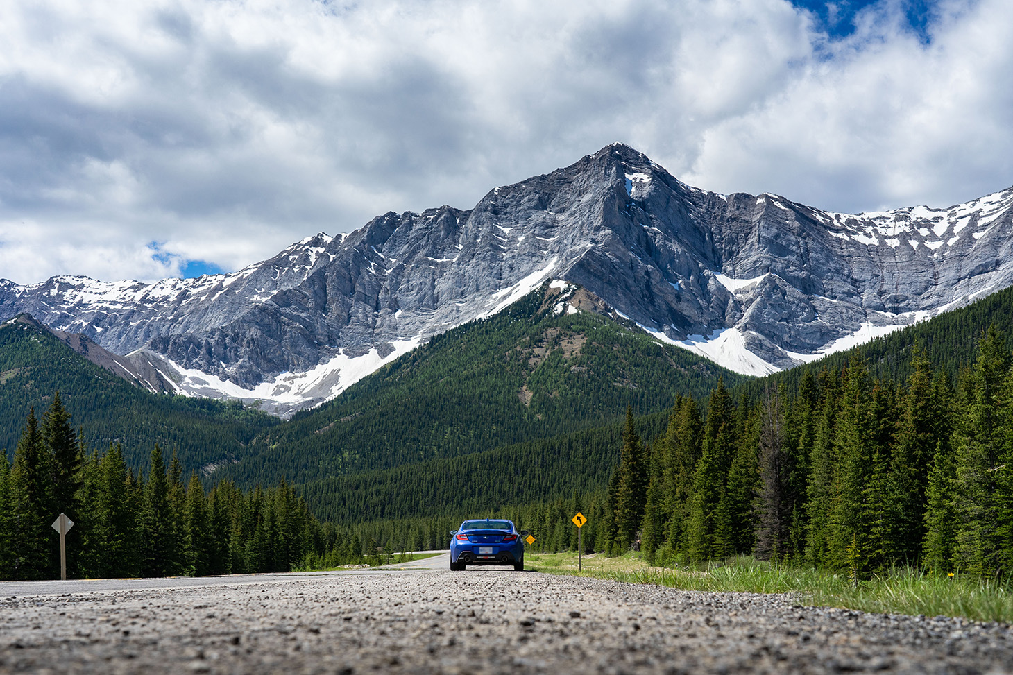
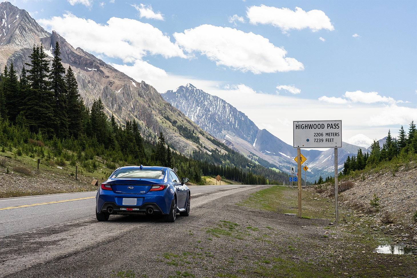
What followed was like rediscovering a lost friendship. Over the next day and a half, I taught my two young daughters how to read a map key, understand scale and distance markings, and orient yourself with the compass rose. We travelled off the beaten path in Alberta’s Kananaskis country, over the highest paved road in Canada, saw Rocky Mountain bighorn sheep and fat, contented grizzlies (the latter from a suitably cautious distance). The next day, GPS was back, but we held on to our maps just a little longer, having found an unexpected joy in doing things the old-fashioned way.
Reading a paper map and using it to plot your way is a forgotten delight in this digital age, a way to unplug for a moment and hold something real in your hand. And, for one company based in Eagle, Colorado, surrounded by a ring of mountain roads, elevating this lost skill to an art form is all about putting the miles in.
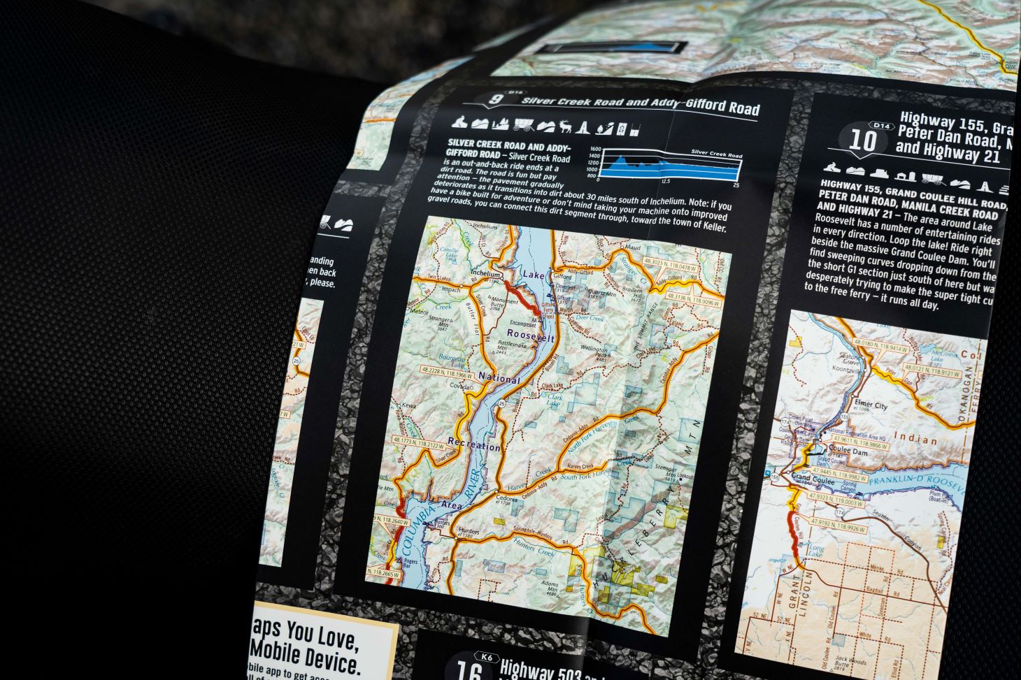
Butler Maps are printed road maps for motorists, with a special focus on motorcyclists. Like most classic road maps, they feature all kinds of basic information about driving routes across the U.S., but they go a step further, offering ratings to guide their readers on routes of special interest.
“We were looking to quantify the level of drama on a ride,” says co-founder Court Butler, who started rolling with the idea for Butler Maps in 2008. “We build our ratings on four criteria: road twistiness, elevation, scenery, and peril. The last is hard to define, but think switchbacks where you might ride right off the mountain.”

The first of the G1 Series Maps focused on the company’s home state of Colorado and started making waves in the motorcycle world on its launch in 2010. If you’re an adventure motorcyclist, you’re probably already aware of both the G1 series covering paved roads and the BDR (Best Dirt Roads) and Adventure maps for those who want to explore a little further. The G1 series now extends over all the Rocky Mountain states—Idaho, Nevada, and beyond—and to the eastern U.S. into the Ozarks and Appalachia.
Adventure motorcycling is a fast-growing segment in the industry, accessible to everyone thanks to affordably priced bikes like the Honda NX500 up to more powerful steeds like the Africa Twin or BMW’s R1300GS. The appeal is obvious out on the road, the smell of pine and road tar making up an integral part of the experience, all as you soak up the scenery in a way that’s as far removed from hunching over a touchscreen as you can get.
But Butler Maps aren’t just for riders. Especially with the paved-roads G1 Series Maps, they are the ideal way to plot out the ultimate road trip that’ll have you grinning behind the wheel of anything from a Mazda MX-5 to a camperized Mercedes-Benz Sprinter. I recently lent a set of my own West Coast Butler Maps to a friend driving a 911 down to Monterey Car Week in northern California, and he returned with tales of gleefully writhing tarmac, jaw-dropping vistas, and rollercoaster elevation changes.
Usually, for drivers, when you spot a couple of adventure bikes going the other way, you know the road is about to get good up ahead. There’s plenty of camaraderie in the community, and riders will go online to share their own takes on what the great routes are in an area.
Butler Maps are a bit different, offering experiences curated by experts rather than crowdsourced tips. Creating the first Colorado map required thousands and thousands of miles in the saddle personally scouting out every last paved road in the state. You read that right. Every. Last. Road.
The same process has been followed for Washington, Oregon, California (split into north and south state maps), and over to Montana and Idaho. Spread out one of these maps, measuring over four feet across, and you can see the best roads highlighted and colour-coded: orange for good, red for great, and yellow for can’t-miss. It’s the Michelin Guide star system, but for riding or driving.
For each state, there are also numbered destination rides more comprehensively broken down on the back of the map. Butler is expanding on this idea with their new Experience Series Maps, which focus on specific trips like touring Route 66.
With Washington just across the border and Oregon offering widely varying terrain, these maps are must-haves for any explorer. They’re tearproof and water resistant for road use, but also appealing enough to mount on a wall and stick pins into, plotting out next spring’s adventure ride during the off-season.
Given the comprehensive effort required to map out an area, putting together a G1 series map is not cheap. That’s why there are as-yet none for Canadian provinces, though members of the Butler team have ridden plenty of routes north of the border. Court says that he’s fond of the roads around Montreal, and that a Butler G1 Series Map of British Columbia is more a matter of when than if.

So if you’re looking to loop through the Cascades in an Audi RS 4 or fly into Boulder and go hunting up fly-fishing streams on your dual-sport bike, then pick up a Butler Map or two. For around $20 (U.S.) apiece, or less for a bundle, they are the essential road-trip planner you didn’t know you needed.
Chances are you grew up with paper maps, and your parents may still have a drawer full of them somewhere. We’ve grown away from them, become used to trusting little magic electronic pocket rectangles with voices that tell us where to turn, how to avoid traffic, what’s the best route that everybody else is taking.
But that national cellular outage wasn’t just an inconvenience. For some of us, it was a gift in disguise. Sometimes we move on from the old ways, and for good reason. Other times, going back to doing things we’d abandoned, things we thought were behind us for good, lets us tap into something special. Sometimes, there’s magic to be found there. GPS lays out a path for you to take without thinking. A proper paper map like a Butler asks the question: where do you actually want to go?


